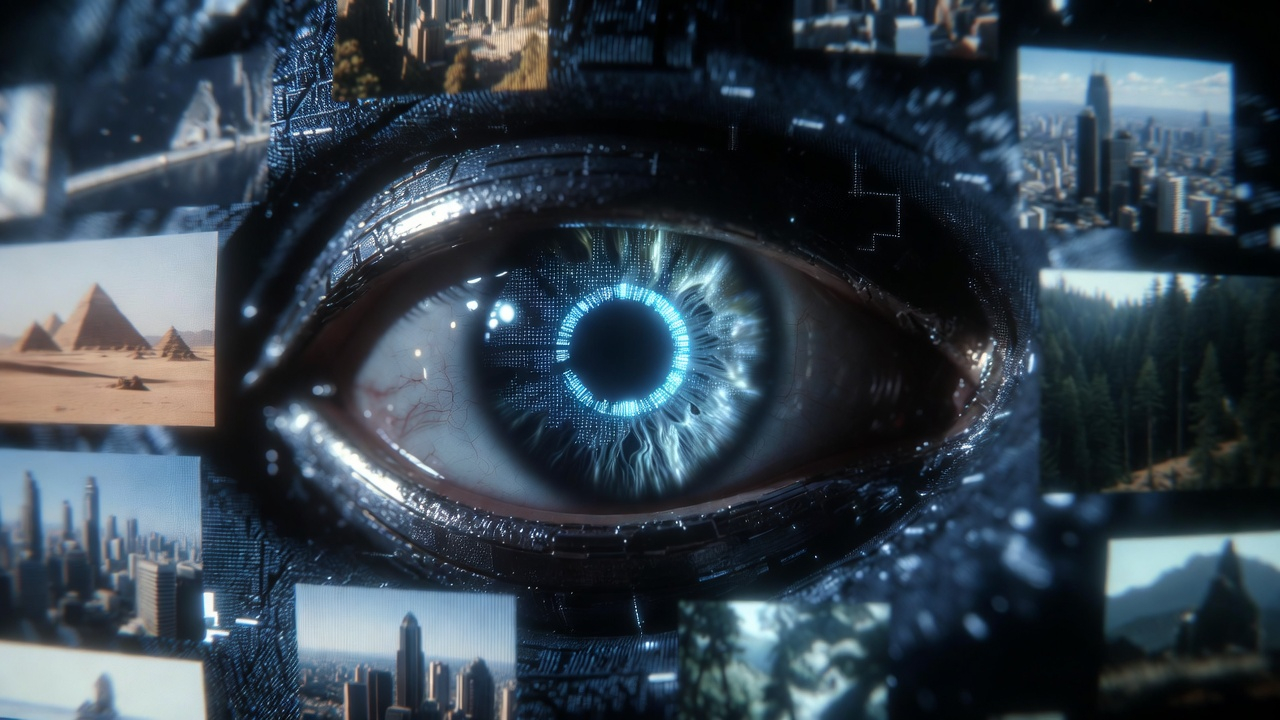
When GeoSeer launched in beta three months ago, the focus was singular: get the best possible location accuracy from a single photograph. That constraint forced us to build a strong foundation — a parallel multi-agent investigation pipeline that extracts and reasons about visual evidence with no reliance on EXIF metadata.
With that foundation solid, we're ready to expand. Today, GeoSeer adds support for multi-image geolocation and video geolocation.
Multi-Image: Up to 3 Photos as Combined Evidence
Real-world geolocation rarely comes with a single, perfect shot. Investigators often have a small set of related images — multiple frames from a sequence, different angles of the same scene, or a primary image alongside supporting context photos.
GeoSeer now lets you submit up to 3 images simultaneously. The agent treats all submitted images as a unified evidence set, cross-referencing visual cues across all of them to build a more complete picture of the location. A detail that's ambiguous in one frame may be clearly resolved in another — multi-image input directly improves the agent's ability to converge on a precise answer.
Video: Automatic Frame Extraction and Analysis
For video submissions, GeoSeer handles the extraction step automatically. Upload a video clip, and the system identifies and pulls the most geographically informative frames — prioritizing moments with the most diagnostic visual content — then runs its full multi-agent geolocation pipeline across those frames.
This removes the manual step of scrubbing through footage to find the best still to analyze. Whether you're working with a short social media clip, surveillance footage, or a news video, you can submit the file directly and let GeoSeer do the work.
Why This Matters
Single-image geolocation is a hard problem. Multi-image and video geolocation is harder — but it's also closer to how real investigations actually work. Witnesses capture bursts of photos. Journalists pull clips from longer recordings. OSINT analysts piece together location from a set of related assets, not a single frame.
This update makes GeoSeer significantly more useful for those workflows. Rather than manually selecting and submitting images one at a time, you can now pass the full set of available evidence and let the agent synthesize across all of it.
How to Use It
The interface works the same way it always has — the multi-image and video options are integrated directly into the existing upload card. For a full walkthrough of the GeoSeer interface, see our usage guide.
Multi-image and video support is available now for all GeoSeer users across both Agent Mode and Fast Mode, with no change to credit pricing. Use promo code VIDEO for 5 free web searches.