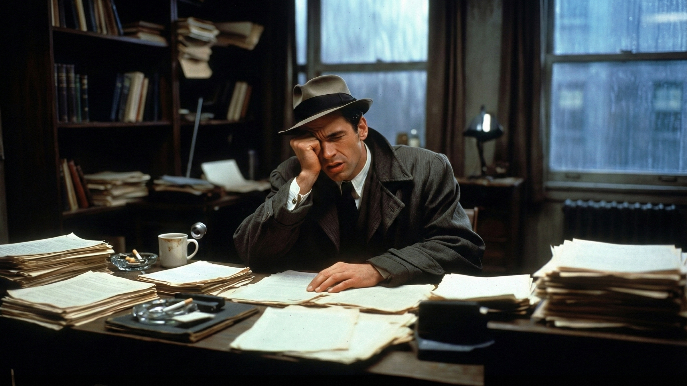
A single geolocation error can derail an entire investigation, wasting hundreds of hours of work, burning through budgets, and in worst cases, resulting in wrongful accusations or allowing perpetrators to escape justice. After analyzing thousands of investigative cases and consulting with digital forensics experts, we've identified the critical mistakes that consistently cost investigators the most time and resources.
Understanding these pitfalls isn't just about avoiding embarrassment—it's about using limited investigative resources efficiently and reaching accurate conclusions faster. Let's examine the mistakes that have cost investigations the most hours and how to avoid them.
Mistake 1: Blind Faith in EXIF Metadata (Cost: 40-80 hours average)
The single most expensive mistake in geolocation work is treating EXIF metadata as gospel truth without visual verification. This error appears in roughly 30% of failed geolocation attempts we analyzed.
The Problem
When investigators find GPS coordinates in EXIF data, there's a strong temptation to consider the case closed. The data shows precise coordinates—what more verification could be needed? This assumption has led to spectacular failures.
In one fraud investigation, metadata indicated images were taken at a legitimate business location. Investigators spent weeks building a case around that location before visual analysis revealed the photos were actually taken elsewhere. The metadata had been trivially copied from legitimate photos and applied to staged images. Sixty hours of investigative work had to be discarded.
Why It Happens
EXIF data looks authoritative because it's technical, precise, and embedded in the file itself. It provides exact coordinates rather than approximations, which feels more reliable than visual analysis. Many investigators lack training in how easily metadata can be manipulated.
The Real Cost
Following false metadata wastes time in several ways. Investigators pursue leads at the wrong location, interviewing witnesses and reviewing surveillance footage that turns out to be irrelevant. Analysis of surrounding areas and access routes becomes worthless when the core location is wrong. Time spent building cases around the false location must be repeated from scratch.
The Solution
Always verify metadata with visual content analysis. If coordinates say the photo is from Location A, examine the image for distinctive features and confirm they match that location. Use satellite imagery and street view to verify architecture, vegetation, and infrastructure match the supposed location. Consider whether environmental factors like weather, lighting, and seasonal vegetation align with metadata timestamps.
Modern AI geolocation tools can perform this verification in minutes rather than the hours manual verification requires. GeoSeer's approach analyzes visual content independently of metadata, then compares findings to flag discrepancies.
Mistake 2: Geographic Tunnel Vision (Cost: 30-60 hours average)
Investigators often form early hypotheses about image locations and then unconsciously filter subsequent analysis through that assumption. This confirmation bias causes them to see evidence supporting their theory while overlooking contradictory indicators.
The Problem
An investigator might decide an image shows a particular city based on architectural style, then interpret all subsequent observations through that lens. Features that actually contradict the hypothesis get explained away or ignored, while ambiguous features get interpreted as supportive.
In a corporate espionage case, investigators became convinced photos showed a facility in Southeast Asia based on climate indicators. They spent forty hours researching specific facilities in that region before a fresh reviewer pointed out that visible license plates used an Eastern European format. The investigation had been focused on the wrong continent.
Why It Happens
Human brains naturally seek confirming evidence once a hypothesis forms. The more time invested in a theory, the harder it becomes to abandon it. Working alone without peer review amplifies this bias. Time pressure to produce results discourages starting over.
The Real Cost
Geographic tunnel vision wastes time through misdirected investigation in the wrong region, failure to identify the actual location until much later, need to restart analysis from scratch once the error is discovered, and lost confidence from stakeholders when major errors become apparent.
The Solution
Actively seek evidence that contradicts your hypothesis, not just evidence that supports it. Have teammates review findings independently before committing significant resources. Use structured analysis methods that require examining all relevant indicators, not just supportive ones. Consider multiple location hypotheses simultaneously rather than focusing on a single theory.
AI-powered analysis helps by evaluating all visual indicators without preconceptions, generating multiple location hypotheses ranked by confidence rather than anchoring on a single theory.
Mistake 3: Ignoring Temporal Inconsistencies (Cost: 25-50 hours average)
Investigators sometimes focus so intently on where an image was taken that they neglect to verify when it was captured. This leads to building cases around photos that turn out to be from different time periods than claimed.
The Problem
A photo might accurately show a location but be from months or years earlier than represented. Investigators waste time connecting it to recent events when it has no relevance to the current investigation.
In a civil litigation case, photos claiming to show recent property damage were used to support a claim. Investigators spent thirty hours documenting the supposed damage and its relationship to the claimed incident before noticing seasonal vegetation in the images was inconsistent with the claimed date. The photos were actually from eighteen months earlier, showing unrelated prior damage.
Why It Happens
Location analysis gets prioritized over temporal verification since location seems more directly relevant to geolocation work. Seasonal and temporal clues are more subtle than obvious landmarks. Investigators may lack training in reading environmental temporal indicators.
The Real Cost
Temporal mistakes waste investigative resources by connecting unrelated events into false narratives, missing the actual relevant images from the correct time period, and requiring complete reanalysis once timing errors are discovered.
The Solution
Always evaluate temporal indicators alongside location indicators. Examine vegetation for seasonal states, deciduous trees leafed out or bare, crops in various growth stages, and presence of seasonal flowers or plants. Analyze weather conditions, snow coverage, ground moisture, and seasonal weather patterns. Look for temporal markers like visible calendar pages, dated newspapers, and seasonal decorations or events.
Shadow analysis can determine approximate time of day and season by calculating sun angles, which must align with claimed dates and times.
Mistake 4: Single-Source Verification (Cost: 35-70 hours average)
Relying on a single verification method without cross-confirming through independent approaches creates vulnerability to method-specific errors and reduces confidence in conclusions.
The Problem
An investigator might identify a building in an image, find a matching structure in satellite imagery, and consider the location confirmed. However, similar buildings exist in multiple locations. Without cross-verification through other indicators, they might have identified the wrong instance of a common architectural type.
In a missing persons case, investigators geolocated an image to a specific parking structure based on architectural features. They spent fifty hours investigating that location, reviewing security footage, and interviewing potential witnesses before discovering the photo was actually from a different but architecturally similar structure in another city. Multiple parking garages shared the same design by the same architect.
Why It Happens
Single-source verification is faster and feels sufficient when initial findings seem definitive. Investigators under time pressure may shortcut verification steps. Lack of training in multiple verification methods limits available approaches.
The Real Cost
Single-source verification failures waste time through false positive location identifications, exhaustive investigation of wrong locations, need to repeat entire analysis with proper verification, and damaged credibility when errors become apparent.
The Solution
Always verify location conclusions through multiple independent methods. If architectural analysis suggests Location X, confirm through visible text and signage in the image, infrastructure and utility configurations, environmental factors and vegetation, and cross-reference with mapping tools and satellite imagery.
Strong geolocation conclusions are supported by multiple verification paths all converging on the same location. If different verification methods suggest different locations, further analysis is needed.
Mistake 5: Inadequate Image Analysis Tools (Cost: 40-90 hours average)
Using manual analysis methods when AI-powered tools could automate much of the work wastes enormous amounts of investigator time on tasks that technology handles better and faster.
The Problem
Investigators sometimes rely entirely on manual analysis—examining images by eye, manually searching for matching locations, typing visible text into searches—when AI tools could automate these processes. What takes an AI system seconds can take a human analyst hours.
One law enforcement agency analyzed a batch of 50 images manually, spending approximately 80 hours total on geolocation work. When they later adopted AI-assisted analysis tools, they discovered they could have achieved the same results in under 10 hours—a 70-hour difference for a single case.
Why It Happens
Organizations may be unaware that advanced AI geolocation tools exist. Budget constraints can delay technology adoption even when ROI is clear. Concern about AI reliability makes some investigators hesitant to trust automated analysis. Established manual workflows resist change even when better options emerge.
The Real Cost
Inadequate tooling costs time through manual analysis taking 10-50 times longer than AI-assisted methods, inability to thoroughly analyze large image sets, investigator fatigue leading to errors on complex cases, and reduced case capacity as limited investigators handle fewer cases.
The Solution
Evaluate modern AI-powered geolocation platforms and calculate their ROI based on investigator time savings. Even modest cost-saving calculations typically show positive ROI within months. Implement AI tools to handle routine analysis while investigators focus on complex cases requiring human judgment. Maintain hybrid workflows using AI for initial analysis and investigators for verification and edge cases.
GeoSeer's multi-agent AI architecture conducts in seconds the comprehensive analysis that manual methods require hours to complete, allowing investigators to focus their expertise where it matters most.
Mistake 6: Poor Documentation Practices (Cost: 20-40 hours average)
Failing to document geolocation analysis thoroughly creates problems when findings need to be defended, reviewed, or used in legal proceedings. Inadequate documentation requires repeating analysis or struggling to reconstruct reasoning.
The Problem
An investigator reaches a geolocation conclusion but fails to document which specific visual indicators led to that conclusion and what alternative hypotheses were considered and rejected. Weeks later, when asked to justify the finding, they must repeat much of the analysis to reconstruct their reasoning.
In litigation cases, poorly documented geolocation analysis gets challenged by opposing counsel. Without clear documentation of methodology and reasoning, analysts spend hours in depositions trying to explain and defend conclusions that should have been straightforward.
Why It Happens
Documentation feels like overhead that slows down analysis when time is limited. Investigators may assume they'll remember their reasoning. Lack of structured documentation templates makes it unclear what should be recorded.
The Real Cost
Poor documentation wastes time through needing to repeat analysis to reconstruct reasoning, extended depositions or court testimony to explain undocumented conclusions, peer review taking longer when reviewers can't follow the original analysis, and difficulty training junior investigators without clear examples of proper methodology.
The Solution
Document analysis as you perform it, not afterwards. Record all significant visual indicators identified, which ones contributed to location conclusions, alternative location hypotheses considered, why those alternatives were rejected, and confidence levels for different aspects of conclusions.
Modern AI tools can automatically generate documentation showing analysis methodology, visual indicators identified, reasoning process, and confidence scores—producing courtroom-ready documentation without additional investigator time.
Mistake 7: Overlooking Infrastructure Details (Cost: 15-35 hours average)
Infrastructure elements like utility poles, telecommunications equipment, and road characteristics provide reliable location indicators, but investigators often focus on more obvious features while missing these valuable clues.
The Problem
An investigator focuses on trying to identify a visible building or landmark while overlooking that visible utility pole configurations, telecommunications mounting styles, or road surface treatments could narrow the location to a specific region or municipality.
In one case, investigators spent twenty hours trying to identify buildings visible in surveillance footage before a colleague noticed utility pole styles that were specific to a particular utility company's service area. This immediately narrowed potential locations from an entire metropolitan area to a few specific neighborhoods.
Why It Happens
Infrastructure elements blend into the background and don't draw attention like landmarks. Investigators lack training in infrastructure variations and regional standards. These details seem mundane compared to distinctive buildings or geographic features.
The Real Cost
Missing infrastructure indicators wastes time by overlooking quick ways to narrow geographic search areas, pursuing analysis of less definitive indicators while better clues go unnoticed, and failing to find disambiguating details when obvious features exist in multiple locations.
The Solution
Systematically examine infrastructure in every image. Look for power line configurations and mounting styles, telecommunications equipment types and mounting methods, utility pole designs and materials, road surface types and marking styles, traffic control device styles, and street lighting configurations.
Different utilities, municipalities, and regions use standardized equipment across their service areas. Identifying these standards can narrow potential locations dramatically.
Mistake 8: Insufficient Training and Skill Development (Cost: Variable, 50-150 hours across cases)
Investigators who lack comprehensive training in modern geolocation techniques work inefficiently, miss available clues, and make preventable errors that waste time across multiple cases.
The Problem
Self-taught investigators often develop ad-hoc methods that miss important verification steps or rely too heavily on familiar techniques while ignoring others. The cumulative inefficiency across many cases represents enormous wasted time.
Why It Happens
Formal training in digital forensics geolocation is not universally available. Budget and time constraints limit training opportunities. The field evolves rapidly, making it difficult to stay current.
The Real Cost
Insufficient training creates ongoing inefficiency across all cases, repeated instances of preventable errors, inability to leverage available tools effectively, and longer learning curves for new team members.
The Solution
Invest in comprehensive geolocation training covering visual analysis fundamentals, metadata interpretation and verification, AI-assisted analysis workflows, verification methodologies, and legal and documentation standards.
Regular training updates ensure teams stay current with evolving techniques and tools. The time saved through improved efficiency quickly exceeds training time investment.
Case Study: The 200-Hour Investigation That Could Have Taken 8 Hours
A comprehensive example illustrates how multiple mistakes compound to waste extraordinary amounts of time. An insurance fraud investigation involved verifying whether claimed damage photos were taken at the insured property.
Investigators found GPS coordinates in EXIF data pointing to the correct property address (Mistake 1: Trusting metadata without verification). They built their initial case around this location (Mistake 2: Geographic tunnel vision). The investigation expanded to interview neighbors, review local government records, and hire a structural engineer to assess the damage.
Eighty hours into the investigation, a reviewer noticed vegetation in the damage photos was inconsistent with local climate patterns (Mistake 3: Ignoring temporal inconsistencies). Further analysis revealed the photos were actually from a different property with similar architecture in a different climate zone. The EXIF data had been copied from legitimate property photos.
Restarting the investigation, analysts manually compared the images with satellite imagery of potential locations (Mistake 5: Inadequate tools). This took another sixty hours before identifying the actual location. Poor documentation of this process (Mistake 6: Poor documentation) meant when the case went to litigation, analysts spent additional time reconstructing their analysis.
Total investigative time: 200+ hours. Had the team used proper verification methodology and modern AI tools from the start, comprehensive analysis would have taken approximately eight hours. The 192-hour difference represents over $15,000 in wasted investigative costs for a single case.
The Cost-Benefit of Prevention
Every mistake profiled here shares a common theme: proper methodology and appropriate tools prevent them. The upfront investment in training, process improvement, and technology adoption pays for itself many times over through time savings on a single complex case.
Organizations should calculate their geolocation-related time costs, including hours spent on later-discovered location errors, time required for rework after methodology mistakes, inefficiency from inadequate tools, and opportunity cost of cases not handled due to capacity constraints.
Compare these costs against the investment required for proper training, methodology development, and modern AI-powered geolocation tools. The ROI typically shows positive returns within three to six months.
Conclusion: The Path to Efficient, Accurate Geolocation
Avoiding costly geolocation mistakes requires combining proper training, structured methodology, and appropriate technology. Investigators who verify metadata through visual analysis, employ multiple verification methods, document their analysis thoroughly, leverage AI tools for efficiency, and continually update their skills conduct geolocation work that is both faster and more accurate.
The question isn't whether to invest in better geolocation capabilities—it's whether you can afford to continue losing hundreds of hours to preventable mistakes.
Interested in reducing geolocation time costs? Learn how GeoSeer's AI-powered platform helps investigators avoid common mistakes while accelerating analysis.